The trial, which compared two digitally innovative solutions, identified a number of cost and time benefits, as well as enhanced levels of accuracy and quality.
Identifying what lies underground is an essential element of Milestone Infrastructure’s work. Underground utilities and services are a key consideration when planning works and having a strong understanding of these is crucial to mitigating health and safety risks, preventing disruption to local residents and minimising project costs. With these considerations the motivating drivers behind the trial, Milestone looked at how a new augmented reality (AR) tool could make a difference.
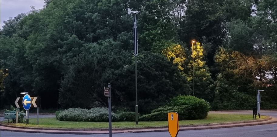
The trial at Histon Road, in Cambridge, followed an extensive examination of the use of AR on Milestone Infrastructure’s project at Deepcut, Surrey. Following this trial of the vGIS and ESRI tools, each providing differing benefits, Histon Road was seen as the logical next step in Milestone Infrastructure’s development and use of AR to avoid service strikes and to gain a clear and accurate understanding of what is underground when completing works in the highway.
Histon Road was identified as a good test due to its urban location, two solutions from Leica and Trimble were tested to assess their suitability. The team set out known locations of existing utilities uncovered during the main works, with the AR systems used to set out the positions in comparison with accuracy of the original works.
The trial was a huge success, with both the Leica FLX1000 and Trimble’s Site Vision proving to be effective and accurate pieces of equipment that would provide a significant improvement in levels of efficiency. Both are similar pieces of equipment, consisting of a smart phone or tablet being connected to handheld mount, using the connection between the device’s camera and the respective tool’s software to scan the ground. This then generates a digital visualisation of the location of the underground pipes and services.
The Leica system provided great usability, with the tablet cradle allowing single-hand usage and its compact build made it ideal for fitting into pockets. Its compatibility with the vGIS system offers a good level of functionality, with ability to make changes to line types and thickness. Its isolation tool allows the user to focus on specific utilities or service types.
Very simple to use, the Site Vision is tracked by its software which means it continues to provide accurate displays even when the satellite signal is lost, for example when working under a tree or close to buildings. One of the biggest strengths of the Site Vision is its issue reporting tool, allowing the user to survey, annotate, photograph and issue a notification directly from the device. This will undoubtedly facilitate improvements in levels of quality through more accurate reporting and early identification of potential issues.
Back to all